MONDAY: Damp start, then clearing. Mix of sun and clouds through the day with a cool north, northeast breeze developing. Winds: NE 10-15mph. High:46
MONDAY NIGHT: Increasing winds. Becoming mostly cloudy with a slight chance of a light wintry mix (rain/sleet/snow) Up to 0.10" possible. Winds: E 15-25mph. Low: 27
TUESDAY: Rain likely. Slight chance of a snow/sleet mix. Couple tenths of an inch possible during the day (Up to an additional 0.25" to 0.50" rain possible Tuesday Night). Rain or wintry mix changes to snow early Wednesday. Windy and turning colder. Winds: E 15-30mph. High: 36
WEDNESDAY: Much colder with snow. EARLY LOOK & LIKELY TO CHANGE, DON'T BET THE FARM (total accumulations from Tuesday thru Wednesday) - 1" to 2" in the Metro, 3" to 6" across central Minnesota, 6" or more and up to 12" in spots across northern Minnesota. Winds: ENE 15-30mph. Low:22. High:29
THURSDAY: Lingering flurries early, then a mix of clouds and sun. Still cold, not as breezy. Low: 12. High: 28.
FRIDAY: Increasing clouds, sprinkles or flurries possible. Low: 9. High: 29
SATURDAY: Mostly cloudy, chance of snow. Low: 14. High:31
SUNDAY: Lingering light snow, some sun. Low: 22. High: 36
FLOODING UPDATES

48 Hour River Forecast - Up to 8 Gauges in Flood Stage
One Forecast in MAJOR FLOOD - Cottonwood River @ New Ulm

Cottonwood River @ New Ulm
Flood Waters Will Begin Affect Cottonwood Street on West Side of River


Photo Courtesy - Todd Nelson - I Took These Last Summer at Target Field, Home to the MN Twins - I Needed a Little Pick Me Up After Forecasting the Upcoming Weeks' Weather - MN Twins' Home Opener is April 8th - Only 18 Days Away!!


Well, that sure was depressing... I haven't had such a sour forecasting experience like that one in a while. Just when I thought we were turning the corner from winter to spring, we go right back into, what looks like, a wintry junk of a mess this week - a classic spring storm.
Tuesday Forecast - A Little Bit of Everything - Mostly Rain for the Twin Cities

Wednesday Forecast - Wintry Mix Changes to Snow Early for the Twin Cities

I should know better; this is Minnesota and we're not even through the month of March yet, UGH. I guess this winter has gotten on my last nerve just as much as the next the person.

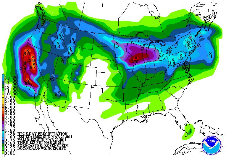
OK, so what are we in for? A series of Pacific storms will continue to rip across the Rockies, carrying copious amounts of moisture with them. Weather models print out over 1" of liquid through the week with the heaviest 'snow' blob over northern Minnesota.
The problem is going to be colder air temperatures, nearly 10F colder than average, which will allow the moisture to fall in a wintry mixed fashion. Tuesday starts the first event with mostly rain, but changes to all snow at some point Wednesday. The heaviest snow, up to a foot, looks to stay across northern Minnesota.
Winter Weather Headlines Posted

'NAM' Snowfall Forecast

'GFS' Snowfall Forecast

This is turning out to be quite a memorable winter, one I hope to soon forget. As Red Green would say: "Hang in there, I'm pulling for ya, we're all in this together." Enjoy your first full day of spring - Todd Nelson

Tsunami Dash Cam
Take a look at this dash cam video of a car being hit by the tsunami in Japan HERE:

No comments:
Post a Comment