Todd's SCTimes Outlook for St. Cloud and all of central Minnesota
SATURDAY: Best day of the holiday weekend. Bright sun, less humid. Winds: NW 10-15. High: 83
SATURDAY NIGHT: Mostly clear and comfortable - dry statewide. Low: 56
SUNDAY: More afternoon clouds, less wind - lower humidity. Winds:S 5-10. High: 83
SUNDAY NIGHT: Mild and quiet, getting a little sticky. Low: 62
4th of July: Some AM sun, then increasing clouds, sticky. Few T-storms likely later in the day. Winds: S 10-15. High: 86
TUESDAY: Another hot and sticky day with some isolated afternoon thunder possible. Low: 69. High:88
WEDNESDAY: Lingering showers/storm, mainly across southern MN, stays summery and hot. Low: 65. High:86
THURSDAY: Unsettled, still warm, borderline hot.. Low: 64. High: 85
FRIDAY: A few stray PM showers or storms, otherwise it's another summery July day. Low: 64. High: 85
Thanks to Paul Douglas for snapping this picture near Ridgedale on Friday evening of what looks like the leading edge of the alien spaceship coming in for a landing. This cloud feature is known as a "Shelf Cloud" which is a good indicator of strong straight lined winds. This feature forms as warm humid air is drawn up and over the colder outflow winds that crashing down to the ground - the pointy feature, points to where the storm is headed... Look out Paul!
We had several reports of large hail (up to 4.25" near Dassel) and near 80mph winds in Redwood Falls where there were several trees downed - here's a complete list of storm reports from Friday Night's Storms:
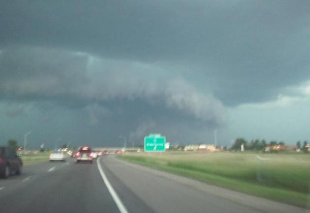
 Other SLC Pictures (SLC = Scary Looking Clouds)
Photo Courtesy Wade Weidner From Otsego
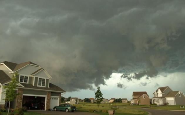
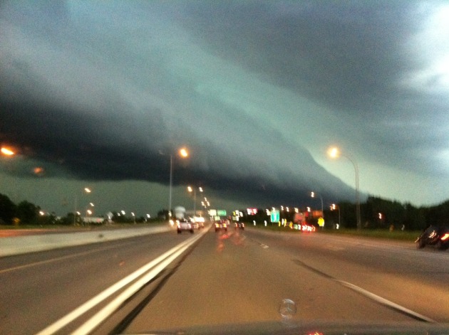
Photo Courtesy Tom Dahl From Maple Grove who was on his way up to the cabin when this shelf cloud rolled through - it turned I-94 into a parking lot

Video Courtesy Susie Martin - This is an artistic look as the storms rolled through the Southwest suburbs
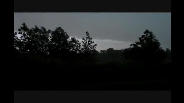
Photo Courtesy Bryan Karrick and his dog "Stormy Sky Chaser" - This was taken after the storms moved through - it was actually a beautiful sunset

The Holiday Weekend
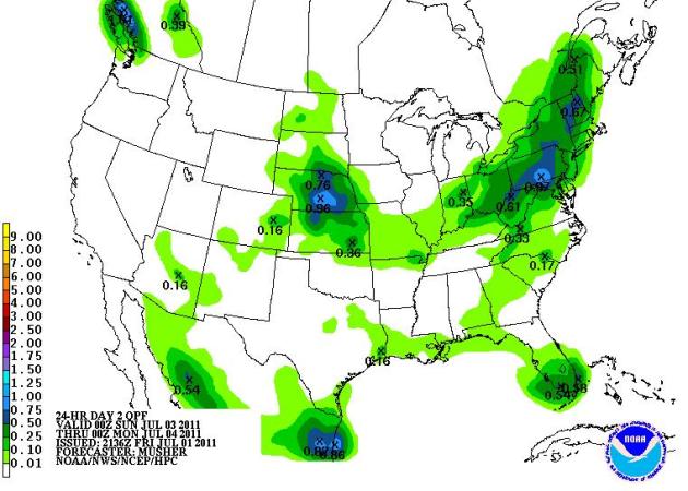
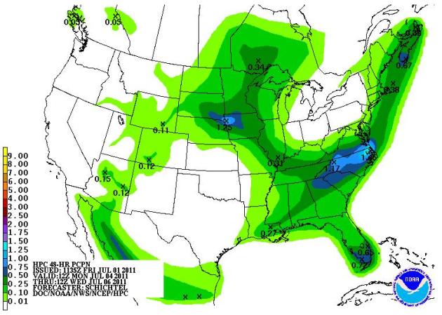
I am happy to report that the holiday weekend is looking pretty good. A thundery Friday night spelled the end of the extreme heat and humidity. Saturday and Sunday look warm, but not as hot. There appears to be some sunshine mixed in this weekend along with fairly quiet conditions. There could be a few more clouds around town on Sunday, but the best chance for an isolated afternoon thundershower looks to have the best chance at sneaking into the area late in the day on Monday (July 4th) Below are the HPC rainfall forecasts for the weekend
Saturday Rain Totals
Sunday Rain Totals
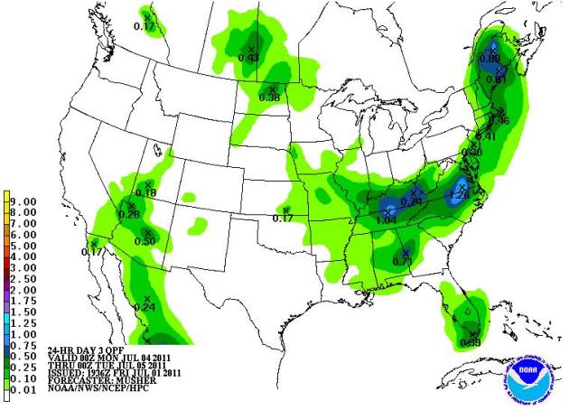
Monday & Tuesday Rain Totals
Again, it appears that Monday will be a little more unsettled than Saturday and Sunday will be. I hope we can sneak those evening fireworks in, but we may have to dodge a few late day showers and storms - we'll keep you posted!
Thanks for checking, enjoy your holiday weekend!
Meteorologist Todd Nelson

No comments:
Post a Comment